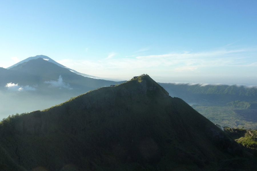
Batur Caldera
The Batur caldera consists of various volcanic layers which are divided into two forms of erupted caldera: Catur (13 x 10 km2) and Batur (7.5 km in diameter) formed in the middle. The height of the caldera circles varies from 1,267 m to 2,152 m asl. The eastern side of the caldera is occupied by a lake. The active peak of Batur (1,717 m) is located at 8 ° 14’30 “south and 115 ° 22’30” east which is at the center of the caldera. According to Kemmerling (1918), Mount Sukawana and Mount Abang (2,152 m) are volcanic remains. It is thought that the ancient Mount Batur (pre-caldera) was taller than Mount Agung (3,142 m), and the caldera area formed today was formed from old fallen stratovolcavo.
The term “strombolian” is used to describe various volcanic eruptions that vary from small volcanic eruptions. Nevertheless, the true activity of strombolians is characterized by short bursts of lava emitted several hundred meters high into the air. Strombolian eruptions never form a continuous eruption column. Mount Batur has erupted at least 22 times since 1800, mostly strombolian eruptions with or without lava flows.
The peak of Batur (1,715 m) which has several eruption points (caldera) forms new peaks and lava flows, which can be seen on the west side of the caldera circle formed by scorea cones and lava flows, visible from the west of the caldera. The accumulation of tephra as scorea deposits that build up around the eruption column to the mouth of the crater.
Formations Before the Caldera (Pre-caldera)
Pre-caldera strato-volcano, consisting of andesite basaltic teephra and basaltic lava that builds up more than 3000 m above sea level (Kemmerling, 1917; Wheller and Varne, 1986). Pre-caldera rocks are mainly exposed in the east (Mt. Abang) and the southern part of the caldera and also underlie the Ignimbrite Batur in the west and southwest of the caldera wall.